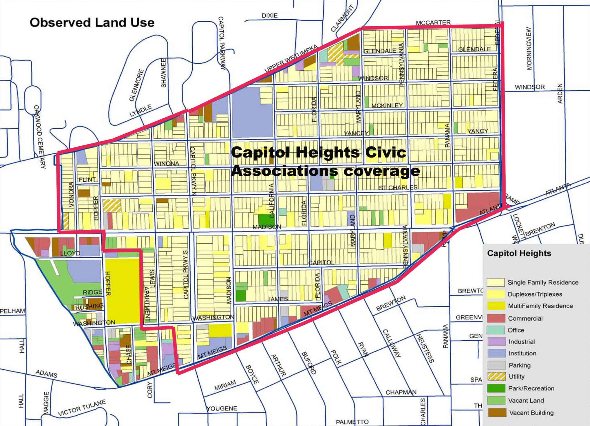
Boundaries
The boundaries of Capitol Heights Civic Association, Inc. are shown in the map above. All properties within the borders North of Mt. Meigs Road, the Southern border, starting with (both sides of South Lewis Street), East to the West side of Federal Drive, the Eastern border, then North on the West side of Federal Drive to the North border (both sides of McCarter Avenue), then West on to the North West border and South side of Upper Wetumpka Rd. to the Western border (both sides of Vonora Street).
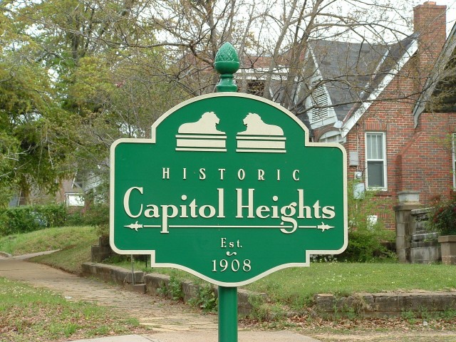
Boundary signs like the one shown above surround the Historic District of Capitol Heights. Erected by the Capitol Heights Civic Association, Inc. The signs are located along the Southern border of the Capitol Heights Community on Mt. Meigs Rd. at South Lewis Street, South Capitol Parkway, and intersection of South Pennsylvania Street and Capitol Avenue. The Eastern border locations are Madison Avenue, St. Charles Avenue, and McCarter Avenue. The Northern border locations are McCarter Avenue, North Capitol Parkway, and Vonora Street. There is also a Western Border location for Madison Avenue.